Loading...


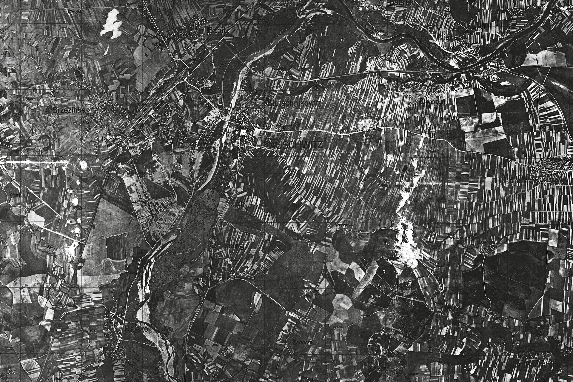
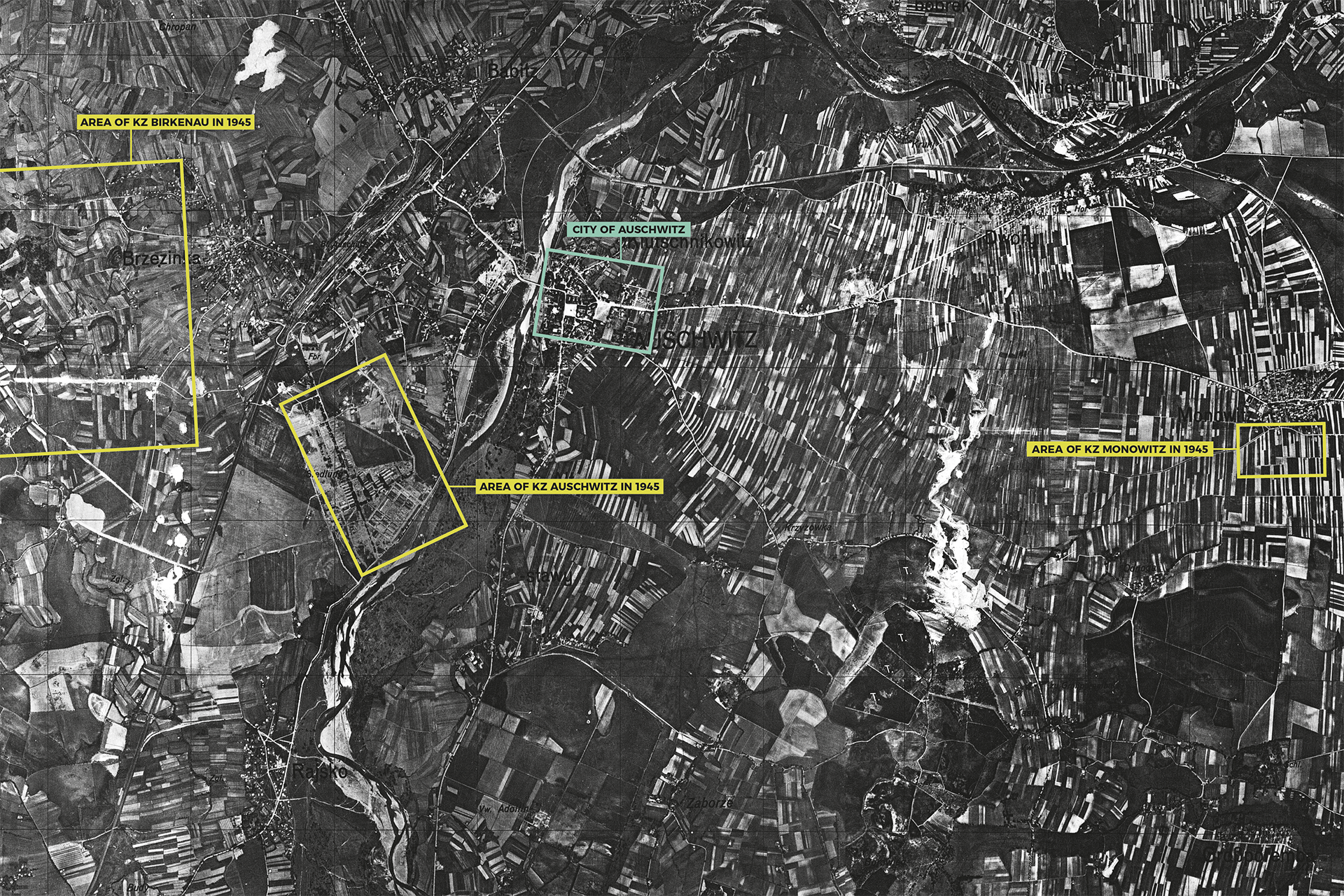
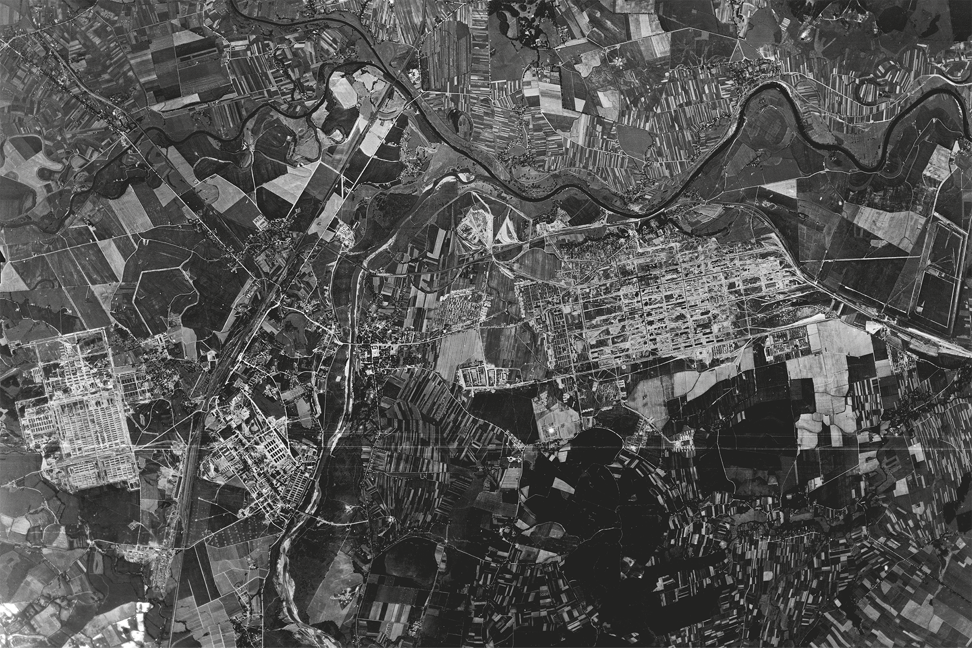
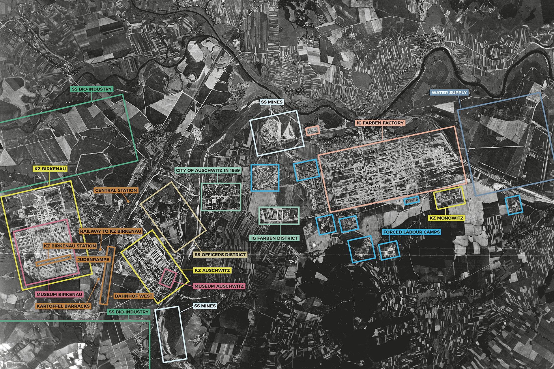
Compare the two aerial photographs from 1940 and 1944. During the four years of the war the area around Auschwitz was fully colonized. The extensive arable land to the east of the town had changed into an industrial area with eight barrack camps for convicts around it. The surface area of camp Auschwitz had tripled and next to it a major industrial estate had been built. On the other side of the track near the village of Birkenau, the extensive Camp Birkenau had been built.